Toggle Nav 
Search
Our Sites
Visit our other sites
-

Fapas - Proficiency Testing
Globally recognised provider of proficiency tests, running over 400 tests annually across an extensive range of matrices and analytes
-

Great Crested Newts Testing
A single sample taken by an ecologist at any time during the newt breeding season can determine their presence or absence, saving you time and money
Assess and monitor turf condition across large sports and leisure sites
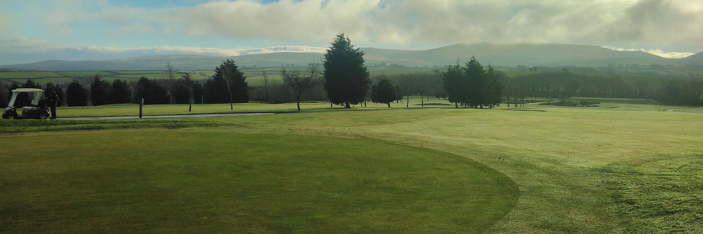
If you need to survey the condition of large grassed areas on golf courses, sports pitches or parkland, Fera has the aerial imaging technology, GIS and remote sensing expertise to produce all the information you need to monitor, assess and evaluate amenity turf and other vegetation.

Our Unmanned Aerial Vehicles (UAVs) are ideally suited to collecting high-resolution imagery data over large areas of land. We also have a range of sensors that can be fitted to these UAVs, allowing us to collect high-resolution (2.5 - 5cm) multispectral imagery, which is ideal for monitoring turf and vegetation conditions over large sites.
We also have the GIS and remote sensing expertise to analyse and interpret both satellite and UAV imagery – producing all the data you need to inform your course or grounds management decisions.
Our UAVs can provide:
- High-resolution aerial imagery for planning and marketing purposes.
- Assessment and monitoring of turf condition, health and stress.
- 3D site plans and fly-throughs.
- Golf course and green maps.
If you have any questions about our UAV services, please get in touch.


Copyright © 2025 Fera Science Limited (“Fera”). All rights reserved.
Registered Office: York BioTech Campus, Sand Hutton, York, YO41 1LZ. Registered in England & Wales, No 9413107. VAT Registration ID: GB 456401013
For further information about how Fera uses any personal data collected from you, please see our Privacy Notice at www.fera.co.uk/privacy-policy.
For further information about how Fera uses any personal data collected from you, please see our Privacy Notice at www.fera.co.uk/privacy-policy.