Fera uses data science, risk modelling and environmental expertise to provide policy advice and solutions that help government, industry and individuals work sustainably to create more resilient agriculture, ecosystems and societies.
Spatial Analysis, Remote Sensing and UAV
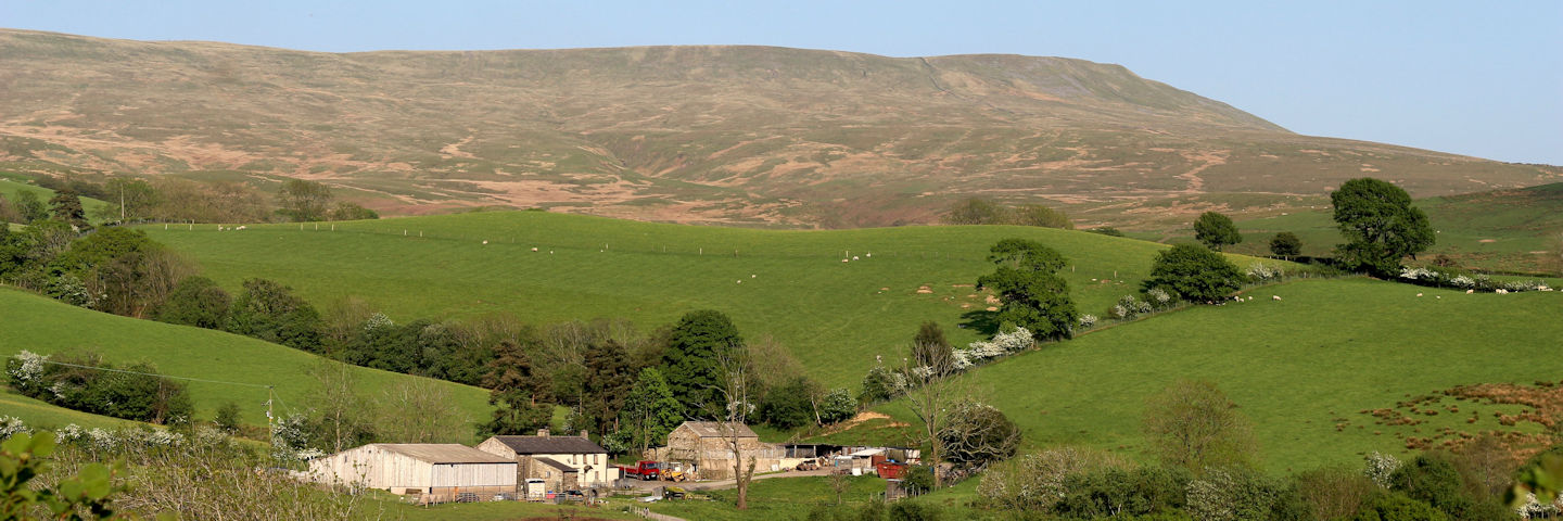
Our UAVs can be deployed to capture bespoke aerial imagery over
agricultural, forestry, quarrying, open mining and construction
environments.
Fera brings together evidence and insights from across our work in
agri-environmental stewardship, remote sensing, spatial analysis and
mapping, Geographic Information Systems (GIS), pollinator research and
pesticide usage surveys.
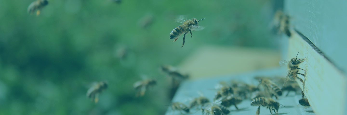
Our work involves monitoring and surveillance of biodiversity, in particular pollinators, over time to assess the impacts of specific policies, schemes and practices.
EconomicsFera can help you to understand the likely impacts and cost-effectiveness of your decisions and actions, so you can make well-informed choices on how to deploy the economic resources available.
Our Environmental Sciences


