Toggle Nav 
Search
Our Sites
Visit our other sites
-

Fapas - Proficiency Testing
Globally recognised provider of proficiency tests, running over 400 tests annually across an extensive range of matrices and analytes
-

Great Crested Newts Testing
A single sample taken by an ecologist at any time during the newt breeding season can determine their presence or absence, saving you time and money
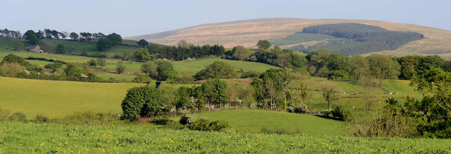
If you need to map or collect data and imagery over large areas of agricultural land, Fera has the aerial imaging resources, GIS and remote sensing expertise to produce actionable data to inform your farm-management decisions.
Our fixed-wing and rotary Unmanned Aerial Vehicles (UAVs) are ideally suited to collecting imagery data over agricultural environments. Fera also have a range of sensors that can be fitted to these UAVs allowing us to collect high-resolution (2.5 - 5cm) multispectral data specific to your needs.
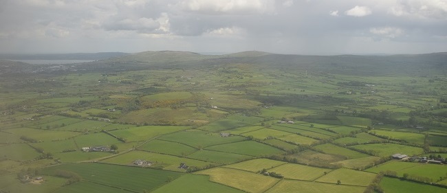
Our UAVs enables us to rapidly collect very high resolution data over your crops, and our GIS and remote-sensing specialists have the skills and knowledge to analyse and interpret both satellite and UAV imagery – producing the essential information you need for effective land management.
See our UAV agriculture case study:
Our UAVs can provide:
- Crop stress mapping.
- Weed mapping.
- Crop counts and yield estimations.
- Drainage mapping.
- Trial plot monitoring.
If you have any questions about our UAV services, please get in touch.

Case study
Potato crop counts
Fera has worked closely with Strawson Ltd to investigate the use of our UAV resources in estimating potato yields.

Copyright © 2025 Fera Science Limited (“Fera”). All rights reserved.
Registered Office: York BioTech Campus, Sand Hutton, York, YO41 1LZ. Registered in England & Wales, No 9413107. VAT Registration ID: GB 456401013
For further information about how Fera uses any personal data collected from you, please see our Privacy Notice at www.fera.co.uk/privacy-policy.
For further information about how Fera uses any personal data collected from you, please see our Privacy Notice at www.fera.co.uk/privacy-policy.