Toggle Nav 
Search
Our Sites
Visit our other sites
-

Fapas - Proficiency Testing
Globally recognised provider of proficiency tests, running over 400 tests annually across an extensive range of matrices and analytes
-

Great Crested Newts Testing
A single sample taken by an ecologist at any time during the newt breeding season can determine their presence or absence, saving you time and money
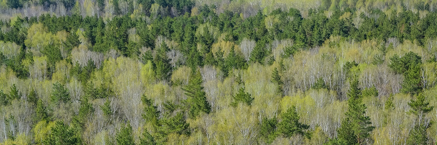
When you need to collect data on woodland composition or health, or identify tree species over a wide area, Fera has the aerial imaging resources, GIS and remote-sensing expertise to produce actionable data to support your forestry-management decisions.

Our fixed-wing and rotary Unmanned Aerial Vehicles (UAVs) are ideally suited to collecting imagery data over woodland and forested areas, which may be difficult to access on the ground. Fera also have a range of sensors that can be fitted to these UAVs allowing us to collect high-resolution (2.5 - 5cm) multispectral data specific to your needs.
We can rapidly collect very high resolution data over large areas, and use our GIS and remote sensing expertise to analyse and interpret both satellite and UAV imagery – producing the essential information you need for effective forestry and woodland management.
See our UAV forestry case study:
Our UAVs can provide:
- Tree species identification.
- Woodland density calculations.
- Tree counts and yield estimations.
- Tree health surveys.
If you have any questions about our UAV services, please get in touch.

Specific UAV applications and case studies:
Case study
Animal and Plant Health Agency (APHA) tree species identification
Fera used multispectral imagery collected by our UAV to identify tree
species within a woodland to assist the Animal and Plant Health Agency
(APHA) with its tree inspections.

Copyright © 2025 Fera Science Limited (“Fera”). All rights reserved.
Registered Office: York BioTech Campus, Sand Hutton, York, YO41 1LZ. Registered in England & Wales, No 9413107. VAT Registration ID: GB 456401013
For further information about how Fera uses any personal data collected from you, please see our Privacy Notice at www.fera.co.uk/privacy-policy.
For further information about how Fera uses any personal data collected from you, please see our Privacy Notice at www.fera.co.uk/privacy-policy.