Visit our other sites
-
Fapas - Proficiency Testing
Globally recognised provider of proficiency tests, running over 400 tests annually across an extensive range of matrices and analytes
-
Great Crested Newts Testing
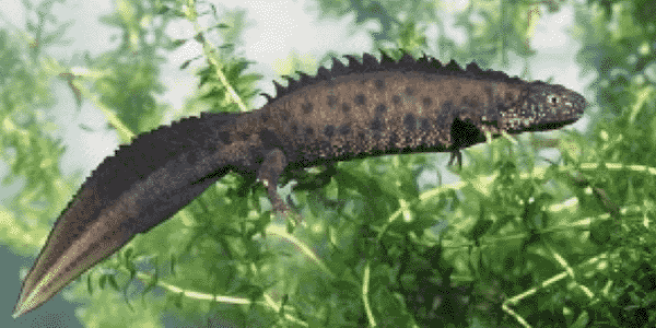
A single sample taken by an ecologist at any time during the newt breeding season can determine their presence or absence, saving you time and money


LAND360's Mapping is an initial, comprehensive baseline mapping service for larger areas. Based on Ordnance Survey (OS) MasterMap parcels, this layer provides large scale land management stakeholders a robust, low-cost entry to LAND360. This service helps to identify focus areas for further analysis.
THE MAPPING PACKAGE INCLUDES:
- Habitat classification of OS MasterMap parcels using the UKHab classification system.
- Basic analysis and attribution of carbon and biodiversity units.


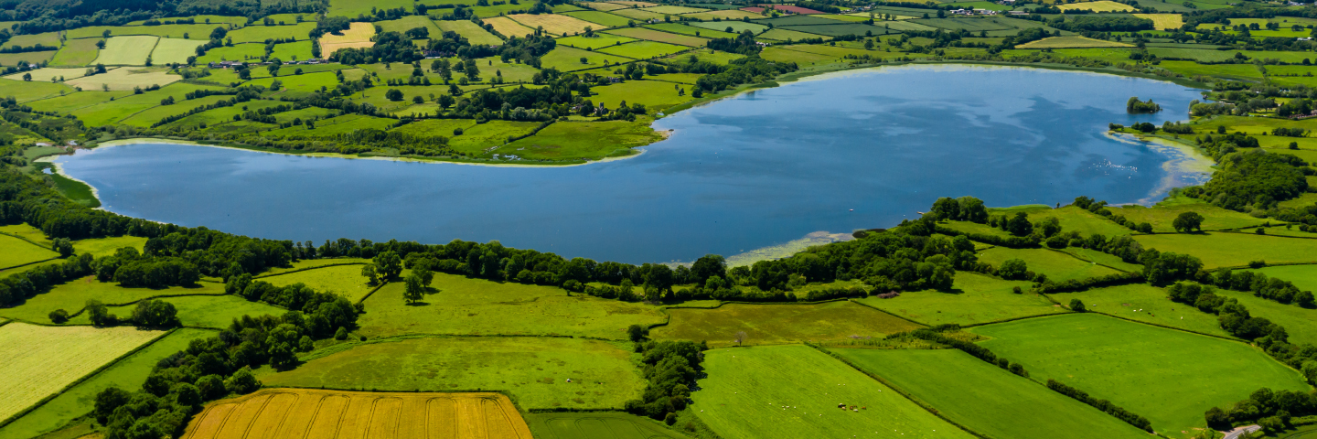
Fera’s remote sensing and geographical information systems (GIS) experts use sensor technology to capture high resolution imagery of your land.
This imagery is then used to create a very high-resolution mapping product, identifying individual parcels of land attributed to single habitat classes, resulting in a highly detailed habitat map of your land. The habitat map can then be used as a basis for further mapping of current levels of carbon storage, carbon sequestration, and biodiversity.
These baseline maps provide insight into where land is performing well by supporting carbon storage and biodiversity and can be used to inform land management decisions to help minimise the impacts and maximise the benefits of those decisions.


LAND360's Mapping+ is a comprehensive baseline mapping service that helps landowners and managers in visualising alternative, sustainable land use.
THE MAPPING+ PACKAGE INCLUDES:
- High resolution landscape mapping using 30cm satellite imagery to produce an accurate digitisation of your land
- Detailed UKHAB land cover attribution of landscape parcels and habitats compatible with the Defra/Natural England Biodiversity Net Gain Metric
- Maps provided indicating areas of high and low biodiversity value, carbon storage and carbon sequestration

Fera’s remote sensing and geographical information systems (GIS) experts use sensor technology to capture high resolution imagery of your land.
This imagery is then used to create a very high-resolution mapping product, identifying individual parcels of land attributed to single habitat classes, resulting in a highly detailed habitat map of your land. The habitat map can then be used as a basis for further mapping of current levels of carbon storage, carbon sequestration, and biodiversity.
These baseline maps provide insight into where land is performing well by supporting carbon storage and biodiversity and can be used to inform land management decisions to help minimise the impacts and maximise the benefits of those decisions.


WHAT MAKES LAND360 DIFFERENT?
LED BY SCIENCE
LAND360 provides tangible results through the interpretation of data and use of scientific insight.
MULTIDISCIPLINARY TEAM
From economists to ecologists, agronomists to scientists, Fera has a wealth of independent expertise and experience to inform recommendations for land management decisions.
PROVEN TRACK RECORD
Research teams at Fera have a long track record of supporting government & policy, practitioners and land managers in monitoring & evaluating agri-environment schemes designed to support environmental sustainability.

Copyright © 2025 Fera Science Limited (“Fera”). All rights reserved.
For further information about how Fera uses any personal data collected from you, please see our Privacy Notice at www.fera.co.uk/privacy-policy.


