Visit our other sites
-
Fapas - Proficiency Testing
Globally recognised provider of proficiency tests, running over 400 tests annually across an extensive range of matrices and analytes
-
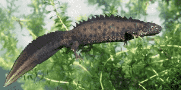
Great Crested Newts Testing
A single sample taken by an ecologist at any time during the newt breeding season can determine their presence or absence, saving you time and money
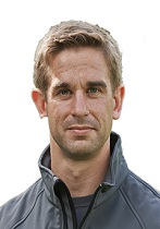
Lee is a Geographical Information Systems (GIS) Specialist at Fera within the Land Use and Sustainability team, where he is involved in the collection, analysis and dissemination of geographic information to support agricultural and environmental monitoring.
Find Lee on: LinkedIn
-
Area of expertise
Spatial Analysis
-
Years of experience
12
-
Highest qualification
MSc
Lee is a Geographical Information Systems (GIS) Specialist at Fera within the Land Use and Sustainability team, where he is involved in the collection, analysis and dissemination of geographic information to support agricultural and environmental monitoring.
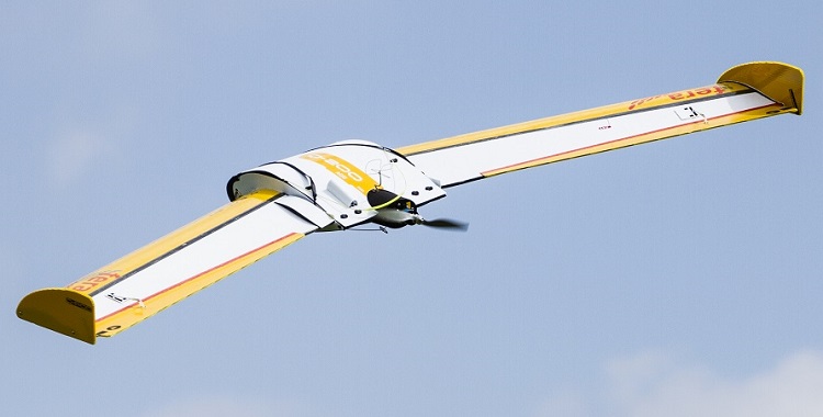
Lee has a particular interest in developing mobile data collection applications for in field data collection as well as the use of Web Maps and Web Applications to present and share spatial data. He is also a qualified UAV Pilot, highly experienced piloting both fixed-wing and rotary UAVs for the collection of visual, thermal, multispectral and hyperspectral imagery data.
Lee is a Chartered Geographer, specialising in GIS and a Fellow of the Royal Geographical Society. His recent work at Fera has focused on:
• Development of mobile data collection and inspection applications to allow plant health inspectors to collect and record data out in the field.
• Development of Web Applications to disseminate tree pest and disease outbreak data to Defra plant health officers.
• Potato Plant Counting Algorithm from UAV MS imagery - Development of a Web Application to display the results of an automatic potato plant counting algorithm preformed on UAV acquired multispectral imagery, to allow the farmer to estimate future yields.
• Inspection Targeting Pilot Study - UAV Scoping project in to how well plant health inspections can be targeted by identifying and classifying different tree species, host species from UAV data.
• Coconut Lethal Yellowing Disease, Mozambique (CLYD) - Use of multi temporal VHR satellite data and manned aerial survey data to determine the effectiveness of treatment methods implemented to control CLYD.
More on Spatial Analysis and Remote Sensing
Whether you need to survey land to monitor crop health or yields, identify tree species, assess vegetation cover, or map large sites to determine ground conditions and resource availability, our Remote Sensing and Geographical Information Systems (GIS) scientists can use cutting-edge UAV and sensor technology to supply all the imagery and analysis you need.
Fera scientists use Geographical Information Systems (GIS) and
geographic analysis to visualise, analyse and interpret data in a
spatial manner to help governments, policymakers and planners
understand relationships, patterns and trends.
Latest Papers and Articles
Brown, P. A and Butler, L. (2016) UAV for automated crop count. The Journal of the Institute of Food Science and Technology.

Events past and future
16th May 2017: ESRI UK Annual Conference Speaker

Lee and their team work with customers to deliver the following services within Fera...
Remote Sensing & Mapping
If you need to survey an area of land for development, crop or vegetation monitoring, land condition assessment or any other spatial or mapping study – you can save considerable time, money & resources with Fera’s Unmanned Aerial Vehicle (UAV) services.
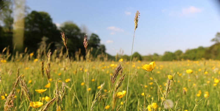
Economics
We help societies to become more resilient or achieve the three pillars of sustainability through combining bottom and top-down decision making approaches under rapid socio-economic changes. Fera can help you to understand the likely impacts and cost-effectiveness of your decisions and actions, so you can make well-informed choices on how to deploy the economic resources available.
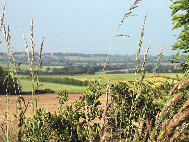
Environmental Planning & Policy
Fera is in a unique position to combine academic research, big data, forecasting models and information from a host of sources to inform practical environmental solutions and policy decisions across the public and private sector.
Latest Papers and Articles
Brown, P. A and Butler, L. (2016) UAV for automated crop count. The Journal of the Institute of Food Science and Technology.

Events past and future
16th May 2017: ESRI UK Annual Conference Speaker

Lee and their team work with customers to deliver the following services within Fera...

Remote Sensing & Mapping
If you need to survey an area of land for development, crop or vegetation monitoring, land condition assessment or any other spatial or mapping study – you can save considerable time, money & resources with Fera’s Unmanned Aerial Vehicle (UAV) services.

Economics
We help societies to become more resilient or achieve the three pillars of sustainability through combining bottom and top-down decision making approaches under rapid socio-economic changes. Fera can help you to understand the likely impacts and cost-effectiveness of your decisions and actions, so you can make well-informed choices on how to deploy the economic resources available.

Environmental Planning & Policy
Fera is in a unique position to combine academic research, big data, forecasting models and information from a host of sources to inform practical environmental solutions and policy decisions across the public and private sector.

Copyright © 2025 Fera Science Limited (“Fera”). All rights reserved.
For further information about how Fera uses any personal data collected from you, please see our Privacy Notice at www.fera.co.uk/privacy-policy.
